Note: You are experiencing
only the raw content of this site, without the intended layout and design.
Either your browser has ignored the Cascading Style Sheet (CSS) files for
this site, or you are using an outdated browser which does not support Web
Standards.
Click here to see
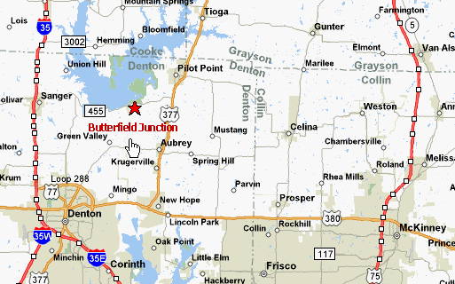
the plat map for Butterfield Junction.
Exit Interstate 35E at Sanger / Hwy 455. Follow 455 -- approximately
10 miles -- over Lake Ray Roberts dam. Butterfield Junction is on the
right about 1/4 mile from the dam.